Digging our region’s natural groove: Cedar Creek’s Tunnel Valley
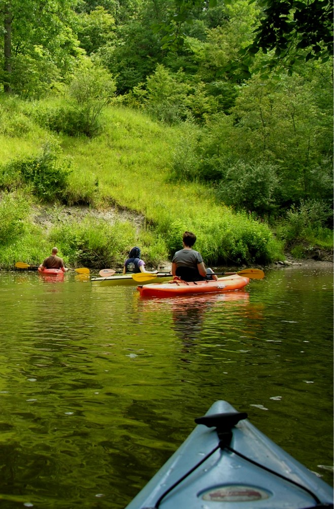
You’ve probably read about the Cedar Creek Corridor, but have you stood 80 feet over the creek and wondered how this dramatic topography happened? Right here?
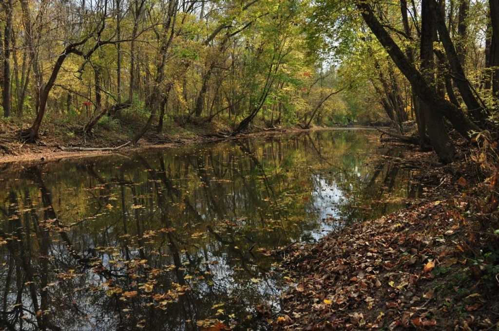
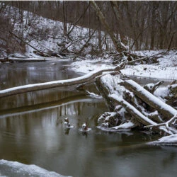
Recently, Tony Fleming, geologist and long-time ACRES friend, shared geologic theory and evidence as we walked along the corridor’s 80-foot elevated Lanham’s Promontory overlooking Cedar Creek in the Tom and Jane Dustin Nature Preserve.
In Cedar Creek, Fleming sees “classic tunnel valley morphology [form]: unusually steep walls, flat bottom and a really straight course. Not a typical stream, no tributaries coming in, just Cedar Creek.”
“Right about here, Dustin Preserve sits on the summit of the Wabash moraine.” [A moraine is an accumulation of soil and rocks, distributed by glaciers.] Fleming says, “we can infer the ice margin, or edge of this glacier, stood here for a long time because there’s about 80 –100 feet of sediment built up in these ridges. Sediment accumulates at the edge of ice; the longer ice stands, the more sediment accumulates.”
We can see this on the land: the margin appears to have been along Chapman Road, just off Coldwater. Fleming says, “you can see it. You’re surrounded by bottomland, and all of a sudden there’s this big wall of sediment.” This is the front of the end moraine, just before Cloud Hill Drive. “It’s pretty obvious on the land. That’s where the glacier stopped.”
“It’s a very distinct ridge, composed of clay-rich glacial till,” explains Fleming. “Underneath this ridge is a slightly older series of sediments from an earlier advance [of glacial ice] that’s mostly sand and gravel. Eighty feet down, about at creek level, this group of sand and gravel bodies is all saturated, full of groundwater.”
How did this ridge form? Cedar Creek Canyon was created beneath a glacier frozen to the ground along its edges, trapping its own meltwater. Fleming says “this glacier was only frozen to the bed in a thin zone, right at its margin.” Meltwater, created by heat from the insulation of this immense ice sheet, built up behind this frozen ice margin. Eventually, this trapped meltwater built enough pressure to dig into the relatively soft sediment underneath — and then to burst out, right at the margin, excavating a very straight gorge, creating this tunnel valley. This pressure was so strong it not only dug out a tunnel valley, it also forced Cedar Creek to initially flow northwest — opposite the direction the creek flows today (which is into the St. Joseph River, which did not exist at the time).
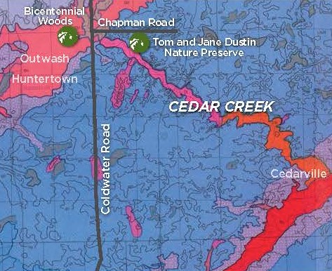
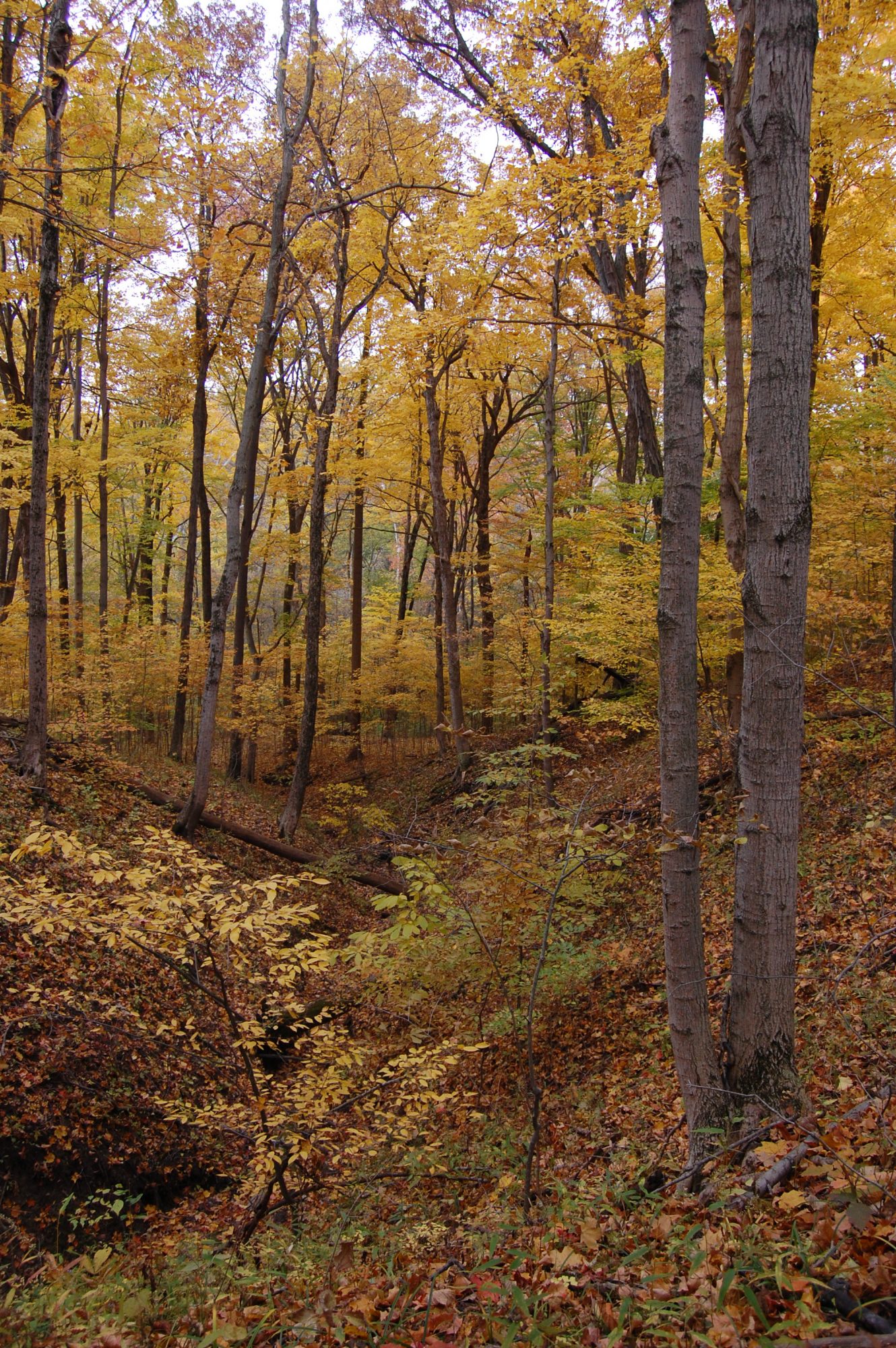
“A lot of sediment was excavated from this moraine: the tunnel valley is 80 feet deep, a quarter to a half mile wide, and several miles long.” So the question is: where did the sediment all go? “That’s the alluvial fan at Bicentennial Woods,” says Fleming. “The hills you hike over and through at Bicentennial Woods are the outwash of sediments deposited at the mouth of the corridor’s tunnel valley,” as seen above on a map of the area.
Glacial ice. A frozen margin. Pressure. Water running uphill. Outwash.
Our groove? Our region’s mark on the map? “A gash,” Fleming says, “created under pressure.” An 80-foot-deep wound, walled by beautiful, rich, diverse vegetation quite distinct from vegetation growing on top of surrounding ridges and hills.
“There’s something else going on here too, ecologically, that’s why this is significant. Obviously, you have radically different positions in the landscape, ranging from a dynamic floodplain down there, to a fairly dry ridge above, where the clay-ey till acts like concrete during the heat of the growing season. But on the walls of the tunnel valley, the sides of the ravine, it’s pretty rich vegetation.”
“It’s the soil,” explains Fleming. “The soil on the walls of the canyon has a shallow soil profile. Plants have ready, easy access to calcium because rain waters haven’t washed the mineral out of the soil.”
“So the morphology of this tunnel valley is also contributing to a richer vegetation community.”
But that’s another story.

Leave A Reply