Taking Responsibility: Removing a low-head dam on Cedar Creek
“What did the fish say when he was swimming upstream and hit concrete?” “Dam!”
Dr. Jerry Sweeten, ACRES board member, retired Manchester University biology professor and expert on low-head dam removal, enjoys a good laugh and talking waterways. He loves fish, river ecology, teaching and preservation. He’s led the charge in removing three low-head dams on the Eel River through the Eel River Watershed Initiative.

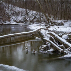
As part of a bequest from Dr. Frederick Mackel, ACRES recently acquired a low-head dam on Cedar Creek.
With Sweeten’s help, ACRES will remove it, addressing two major issues:
1) Human Safety
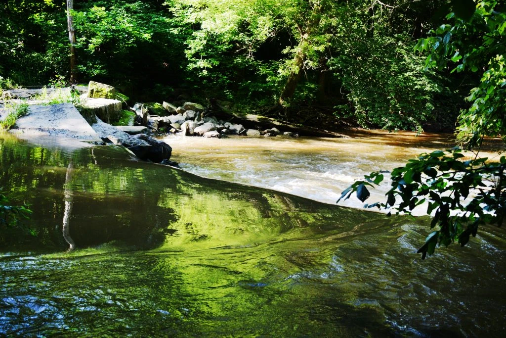
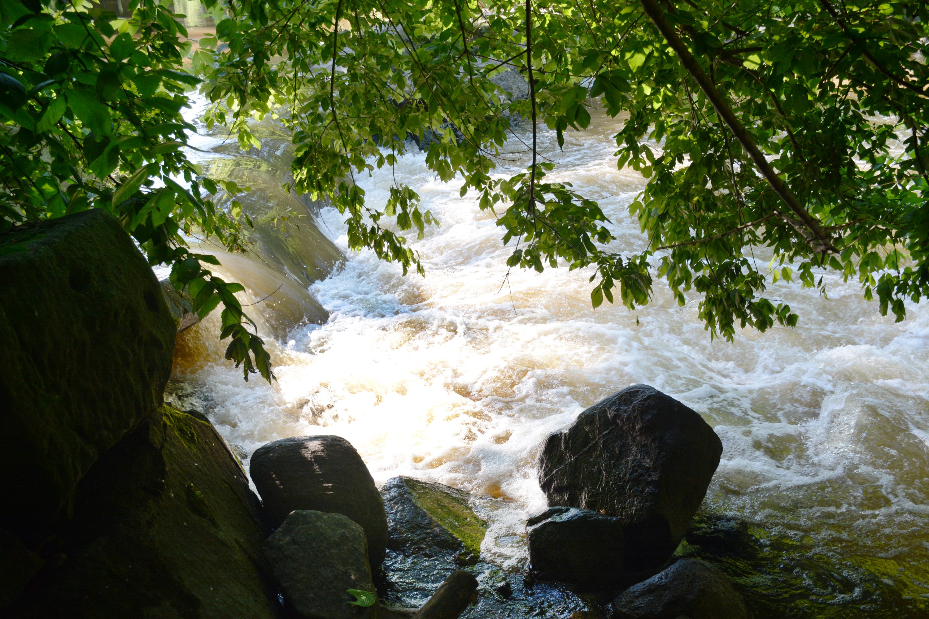
Though low-head dams appear harmless, even charming or alluring, they are dangerous.
Water flowing over a low-head dam gains speed and power as it is squeezed over the wall. It plunges across the dam with great force, hits bottom, then recirculates in a forceful, repeating cycle. This current, called a hydraulic boil, is nearly impossible to escape. But the danger is not apparent, least of all to unsuspecting paddlers, and to children.
2) Ecological Integrity
Removing low-head dams opens fish passageways and offers rivers and streams the ability to behave as they need to, unobstructed.
“If you take out the low-head dam, the stream knows what to do,” says Sweeten. “The science is good, predictable. Comparisons of sampling done both before and after dam removal, show that within every 100 feet of the dam, “species and numbers of fish taper by 25 to 30 percent.”
Sweeten predicts early sampling on Little Cedar Creek will show the same. He also predicts victory: removing the dam will equalize distribution. The creek will find integrity.
As you might guess, Sweeten’s initial interest in removing low-head dams was…fishy. He was unaware of the dangers these dams posed to people. His view has shifted significantly:
“I don’t want to speak with one more mother who lost her child to a low-head dam accident. Let’s get this thing out so nobody gets killed here. This is one of the biggest no-brain ecological exercises ever.”
Though the benefits of removal are agreed upon by all the governing agencies, removing low-head dams requires a mighty pen and tenacious persistence in paperwork.
The first obstacle is permission. Most dams are owned by private citizens as part of the deed to their property. While private landowners don’t own the water, they do own the land under the water. In earlier times, landowners could and did put dams on a river, often to grind grain or to generate hydroelectric power for mills or breweries.
In our case, ACRES now owns the dam at Mackel Nature Preserve and is eager to remove it.
Here’s our process for removal:
General Timeline
Summer and Fall 2018 | Purdue Fort Wayne and the University of Saint Francis sampled the creek for fish and mussels.
Winter 2018 | Submitted two funding requests for dam removal and compliance monitoring.
Summer 2019 | Learn the status of funding requests: approved. If funded, monitor the biological and physical parts of the creek above and below the dam.
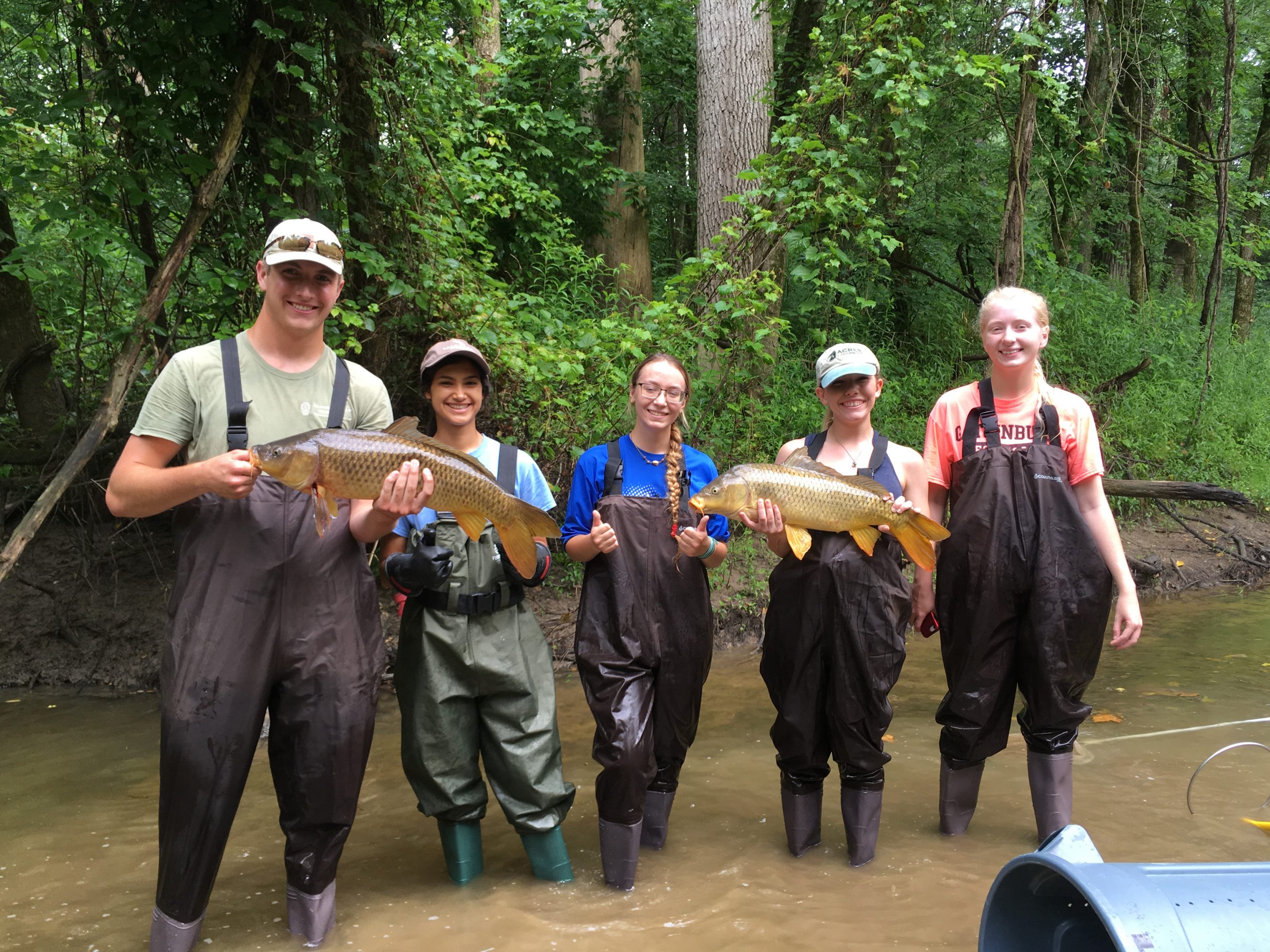
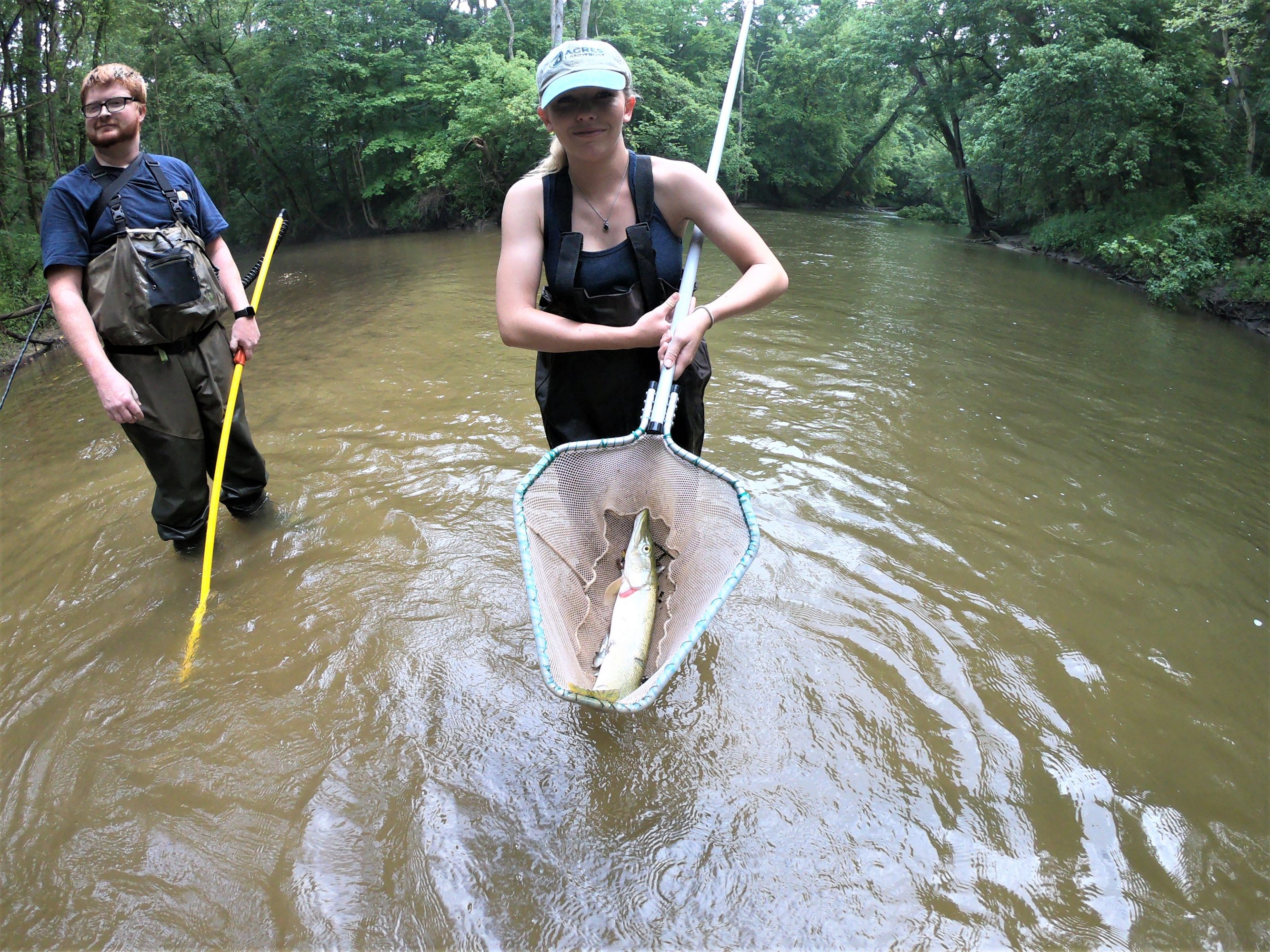
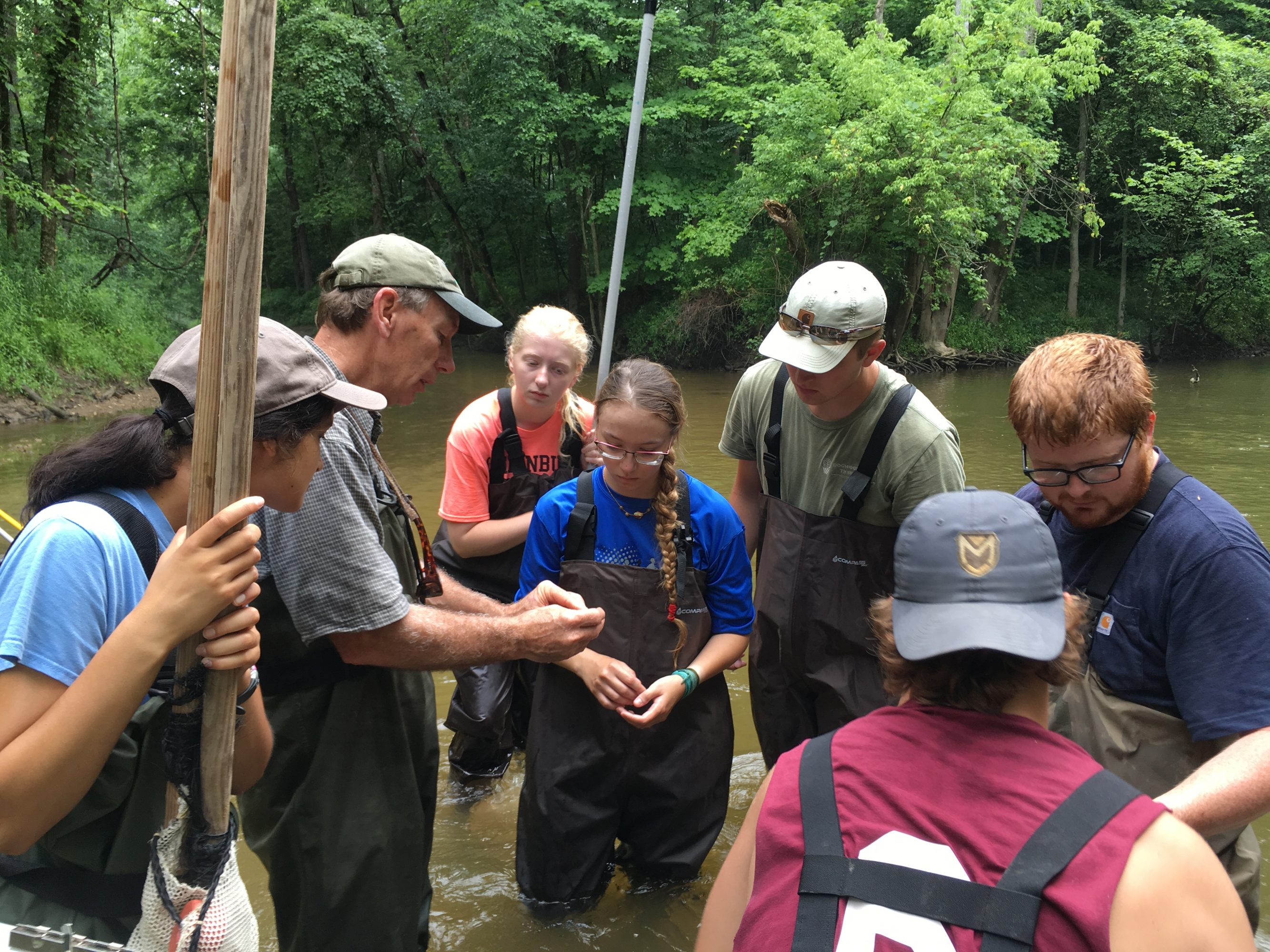
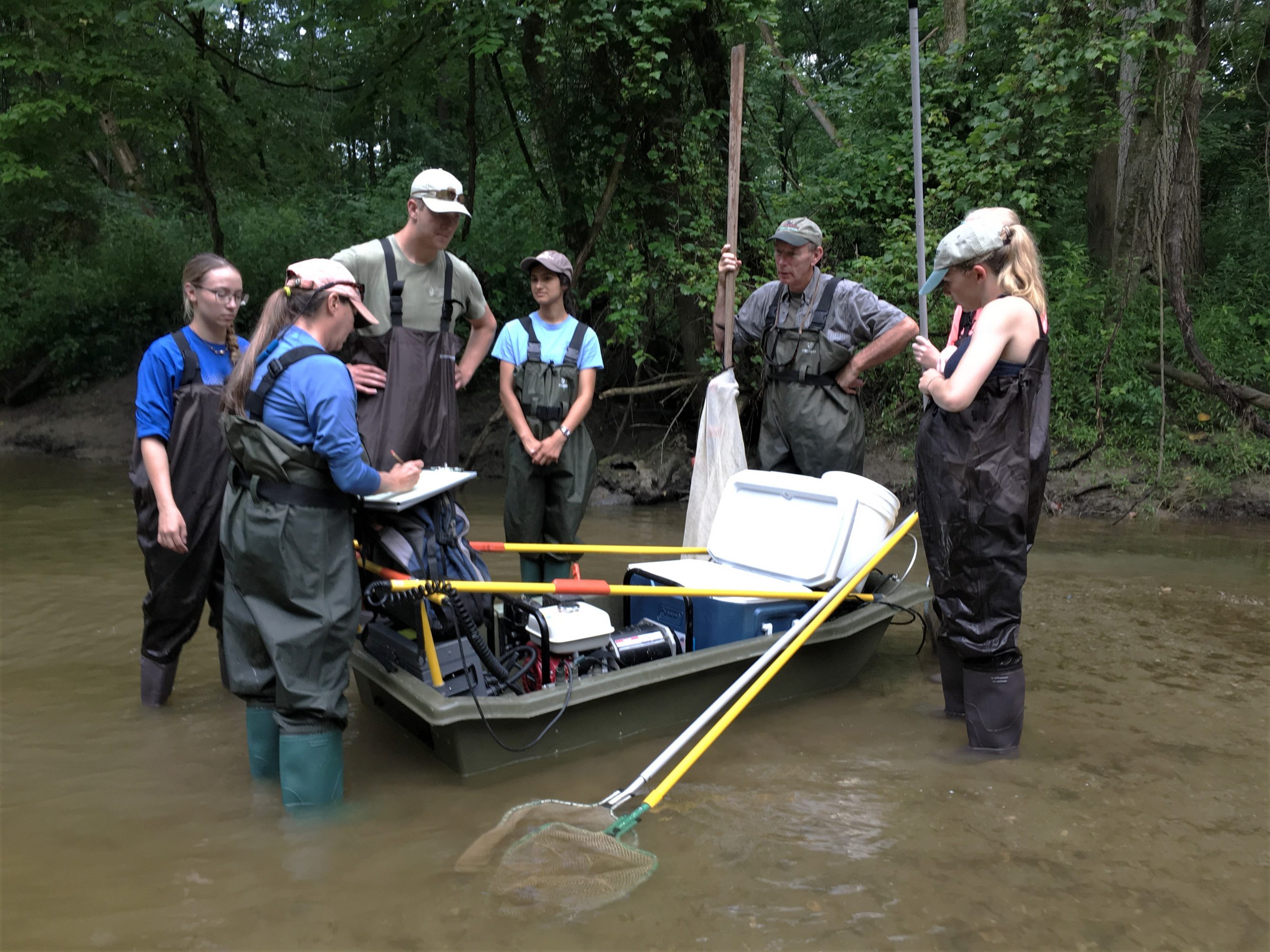
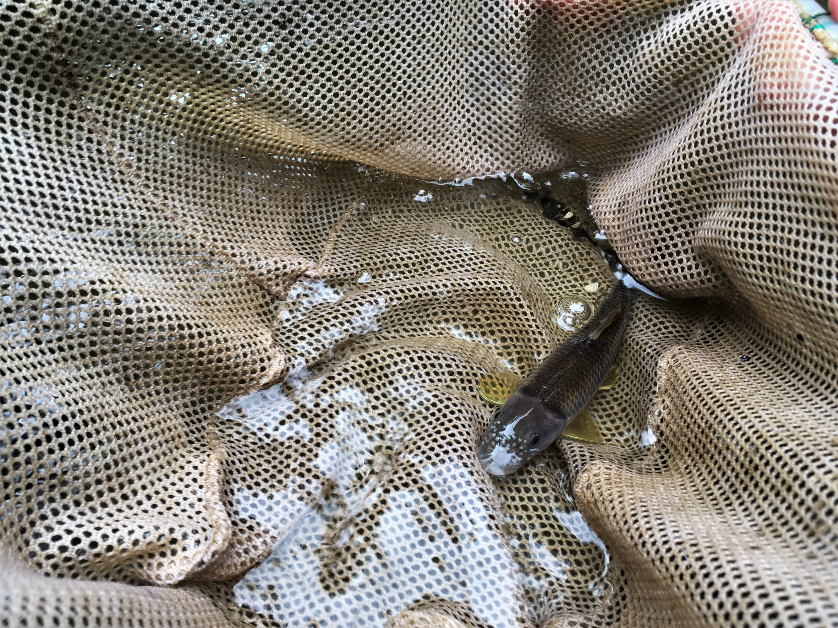
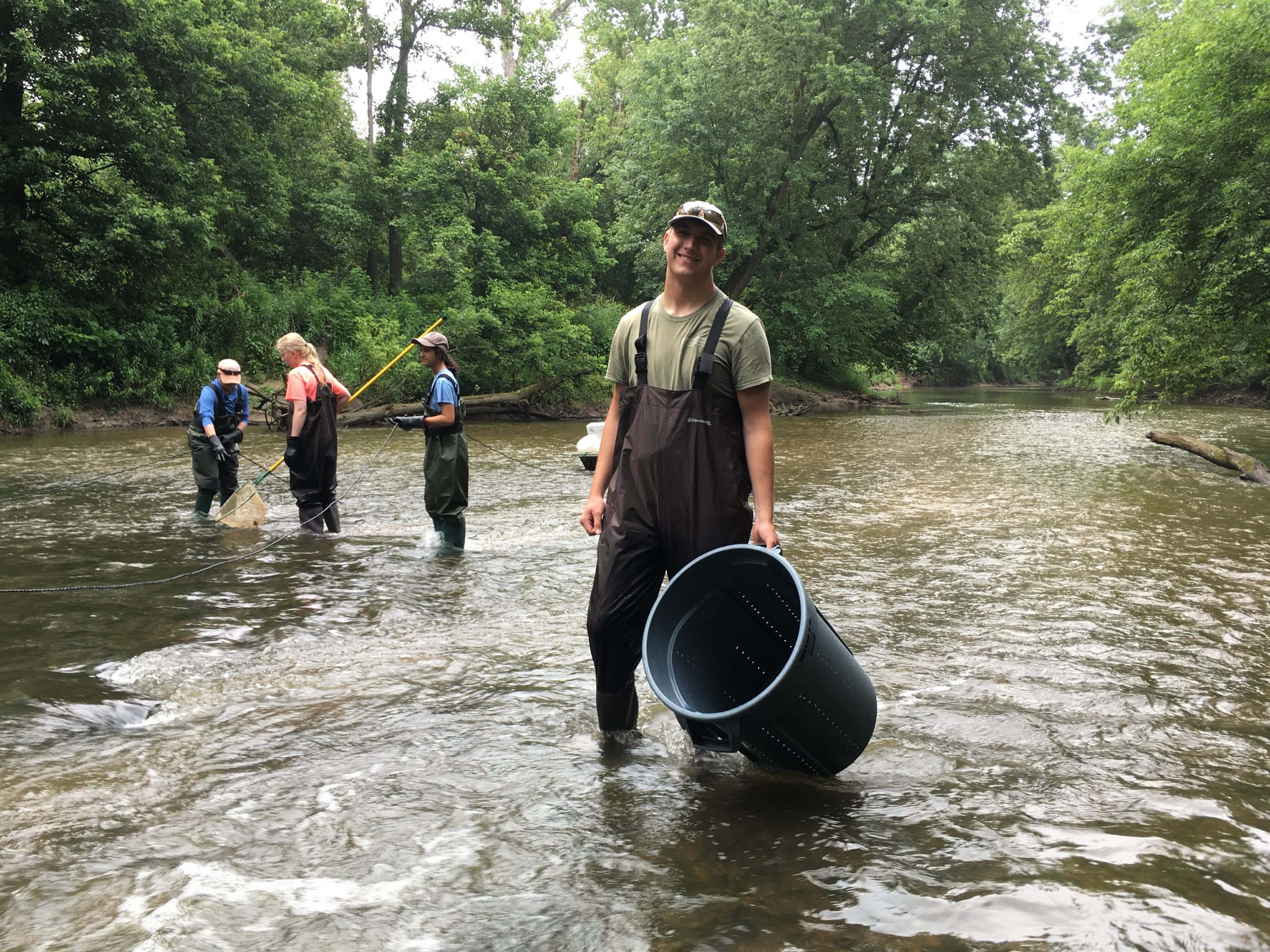
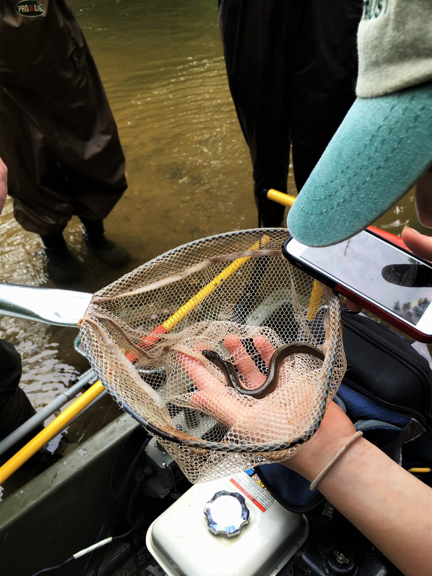
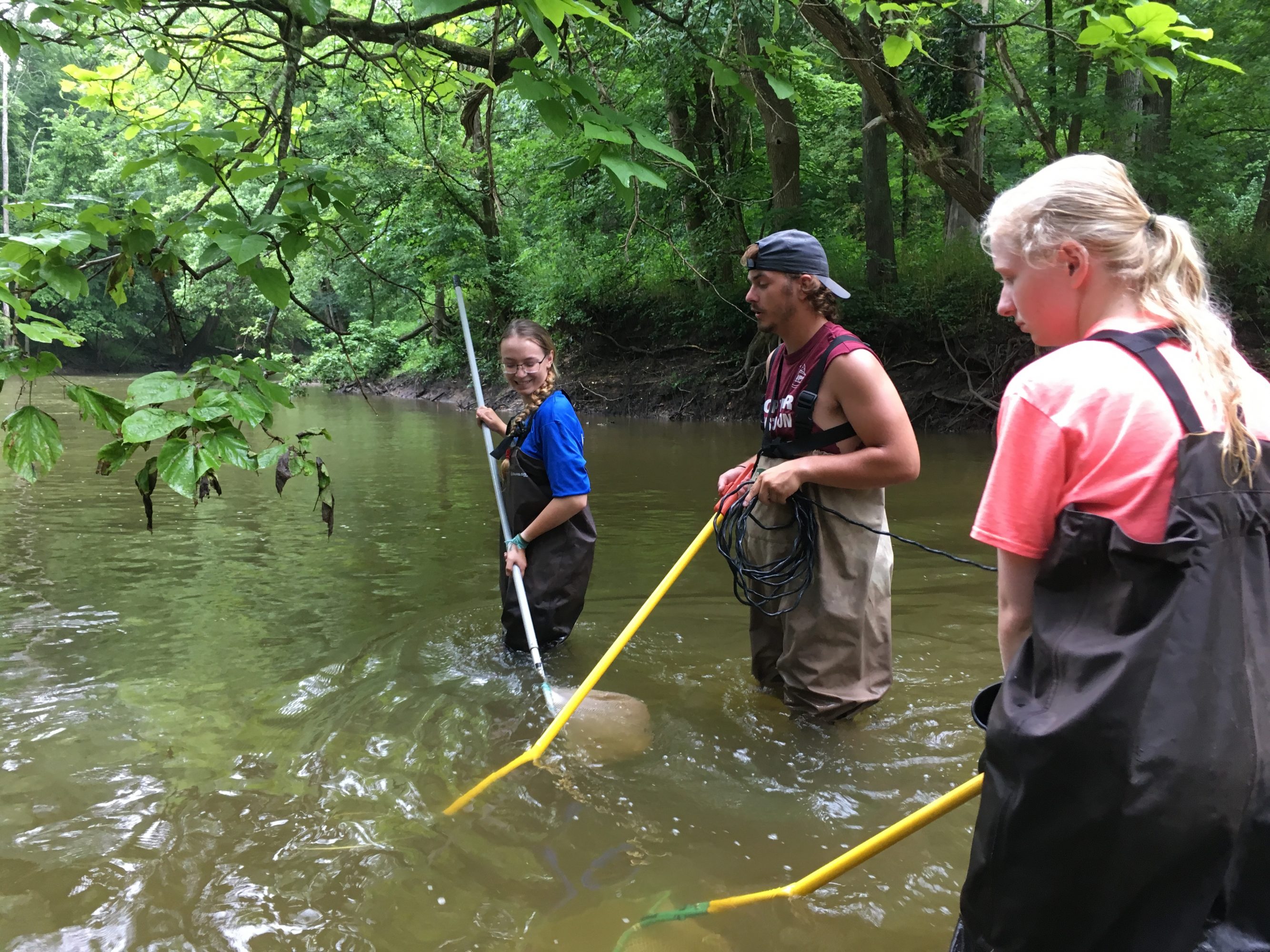
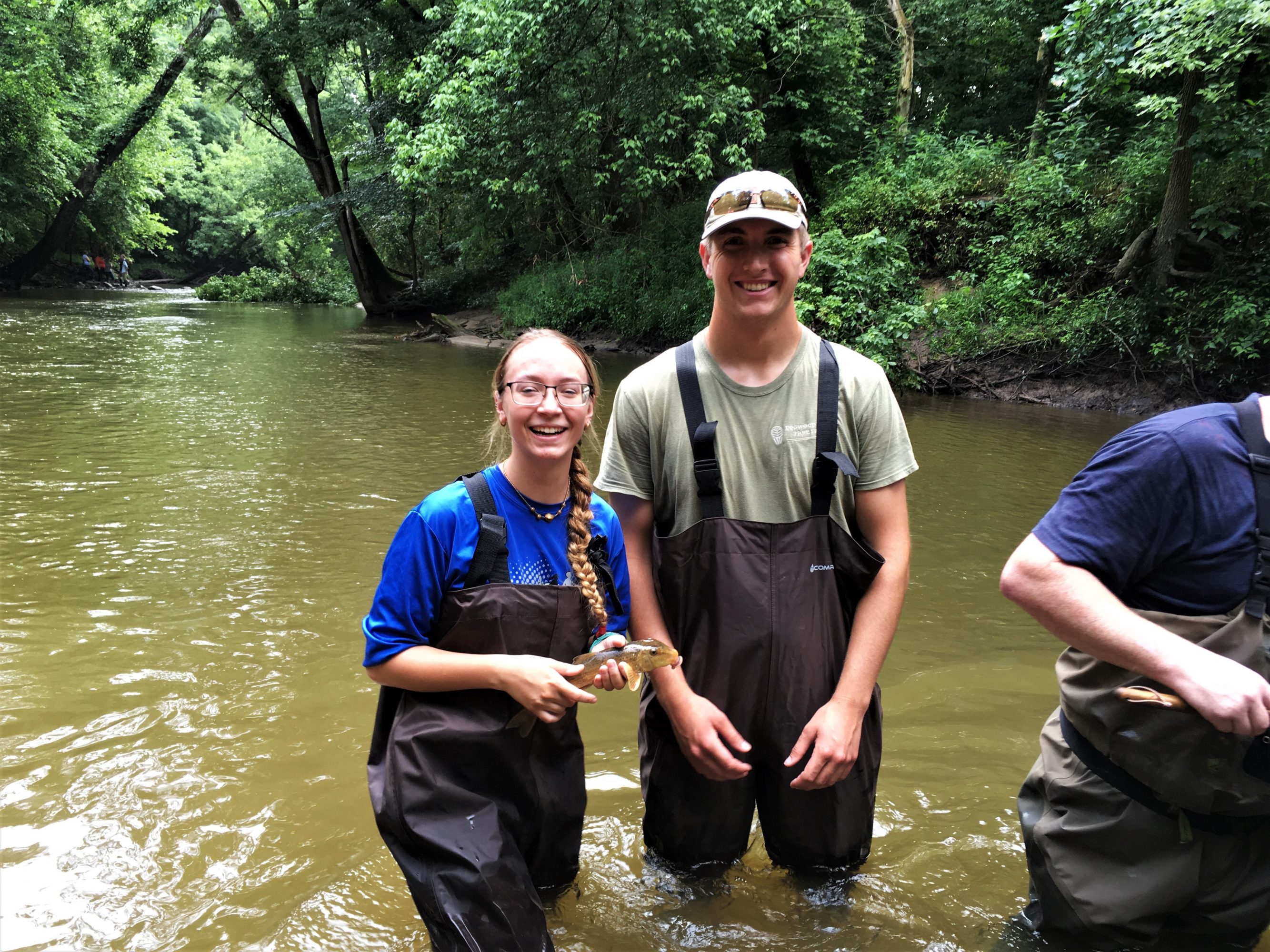
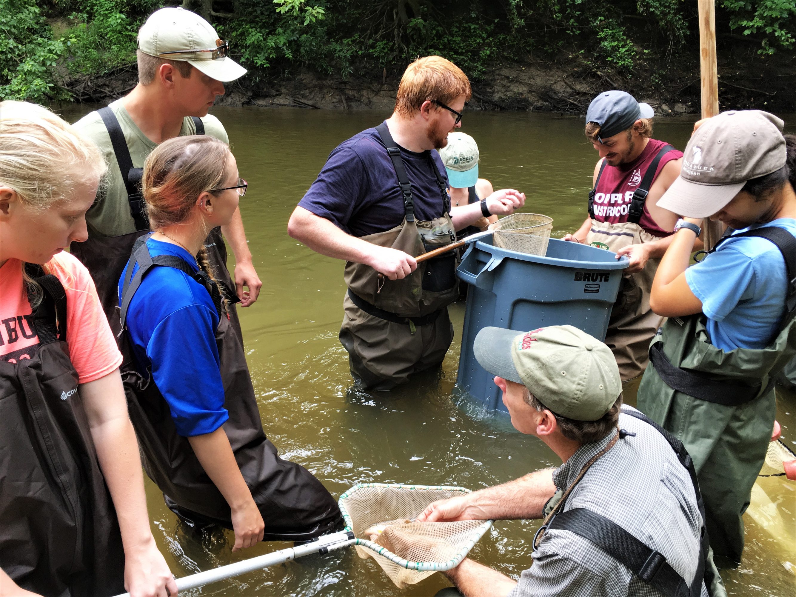
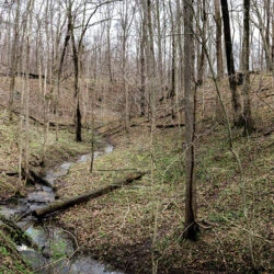
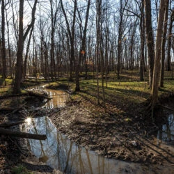
Photos: ACRES summer land management interns join Jerry Sweeten’s
EcoSystems Connections Institute team to sample Cedar Creek’s aquatic life.
Fall 2019 and Winter 2020 | Solicit permitting applications from Indiana Department of Environmental Management, the Army Corps of Engineers, and Department of Natural Resources.
Fall 2020 | Remove the dam. Since up to 80 percent of riverine fish species migrate upstream and spawn during spring and summer, fall is the ideal time to avoid disturbing fish spawning and mussels. And stream levels are lower.
Summer 2021 | Sample Cedar Creek again, looking for the predicted equal distribution of species.
The gift of this land gives ACRES the unique opportunity to act—to take responsibility for both stream ecology and human safety.
Funding for the project comes from the Lake and River Enhancement (LARE) Program through the Indiana Department of Natural Resources, Division of Fish & Wildlife and the U. S. Fish and Wildlife Service’s National Fish Passage Program. ACRES has submitted permit requests to the Indiana Department of Environmental Management, the Army Corps of Engineers and Department of Natural Resources.
Cedar Creek is one of only three rivers in the state to be designated in Indiana’s Natural, Scenic and Recreational River System under the 1973 Act of the same name. ACRES helped the waterway earn this designation in 1976. The Cedar Creek Corridor is the largest forested corridor remaining in Allen County and one of four priority conservation areas for the land trust.
To date, ACRES Land Trust, Indiana’s oldest and largest local land trust, protects 7,100 acres of natural and working land on 100 properties in the tristate area, forever. 1,700 ACRES members make it possible to keep these vital places safe and offer fifty trail systems, open dawn to dusk daily. Learn more about ACRES on its website at acreslandtrust.org and about the Cedar Creek Corridor at cedarcreek.acreslandtrust.org.


Leave A Reply