
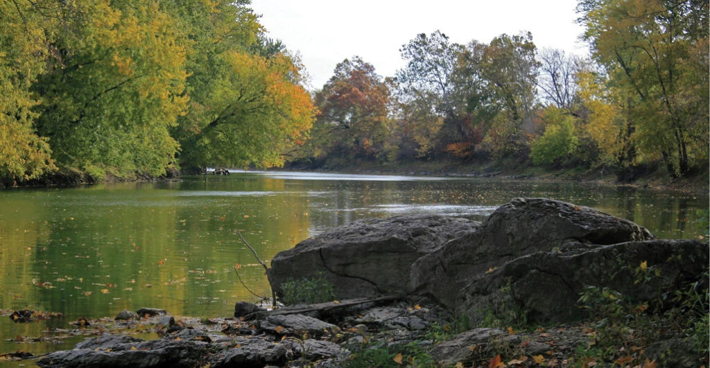
Where Northeast Indiana Water Trails Meet ACRES Preserves
Guest post by Kyle Quandt, Northeast Indiana Water Trails Partnership
Did you know there are 566 miles of rivers with 87 public access sites available for paddle sports in northeast Indiana? Northeast Indiana Water Trails Partnership (NEIWT) is on a mission to connect community members with our rivers, not only for the physical and mental health benefits of outdoor recreation, but also for the benefit of our rivers.
See, the more people interact with our natural resources, the stronger their connection to them becomes. This translates to backyard conservation efforts and better water quality.
For this reason, NEIWT works to introduce our water trails to more people each paddling season (May through October) by offering free Learn to Paddle classes for youth and monthly paddle socials for everyone.
Two missions, many meeting points
Much like ACRES Land Trust, NEIWT’s mission is to conserve and preserve our natural resources, though we work toward this goal in different ways. While NEIWT tries to build that connection to the natural world through creating new opportunities to interact with our rivers, ACRES acquires high-quality land and, in many cases, creates opportunities to interact with our forests and prairies. But there places where the water trails and ACRES preserves intersect throughout northeast Indiana.
ACRES preserves do not provide water access, but paddlers can travel past several preserves and experience their beauty and wildlife from the water. In fact, on a single trip, you can view two separate preserves from unique perspectives if you’re traveling by river.
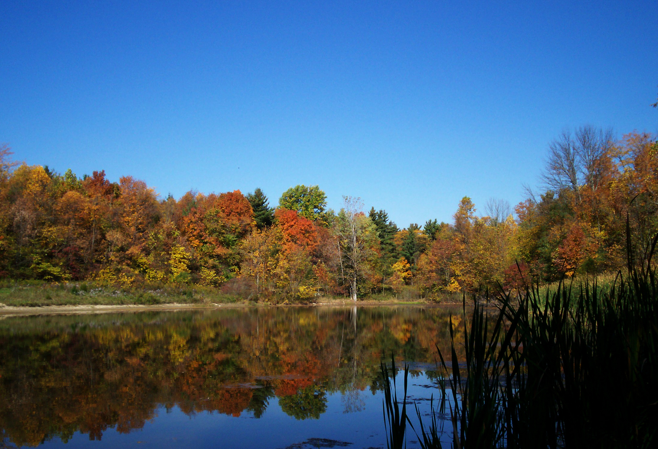
Paddle past Kokiwanee and Hanging Rock
Starting at one such preserve is the 139.5-acre Kokiwanee in Lagro (5825 E. 50 S.). During the spring and fall rains, the Salamonie River in this section is a lovely paddle, but the river can get too shallow during the drier summer months.
There is a public access site located just east of Kokiwanee off S County Road 600 E (40.81186, -85.68399). After hiking the 3.1 miles of trails, head to the public access site and paddle approximately 2.6 miles downstream to the confluence with the Wabash River. You may even see waterfalls, waterfowl and bald eagles along the way.
From here, paddle upstream approximately 0.6 miles to the 5-acre Hanging Rock National Natural Landmark, where you can observe a Silurian coral reef estimated to be 420 million years old. The reef was formed when much of the Midwest was covered by a warm, shallow sea. When the river undercut the rock, the top of the rock, 65 feet above the Wabash Valley, was left overhanging its base, giving this site its name: Hanging Rock.
From here you will paddle 1 mile downstream to take out in Lagro near the old Wabash and Erie Canal (Basin St., 40.835681, -85.728079).
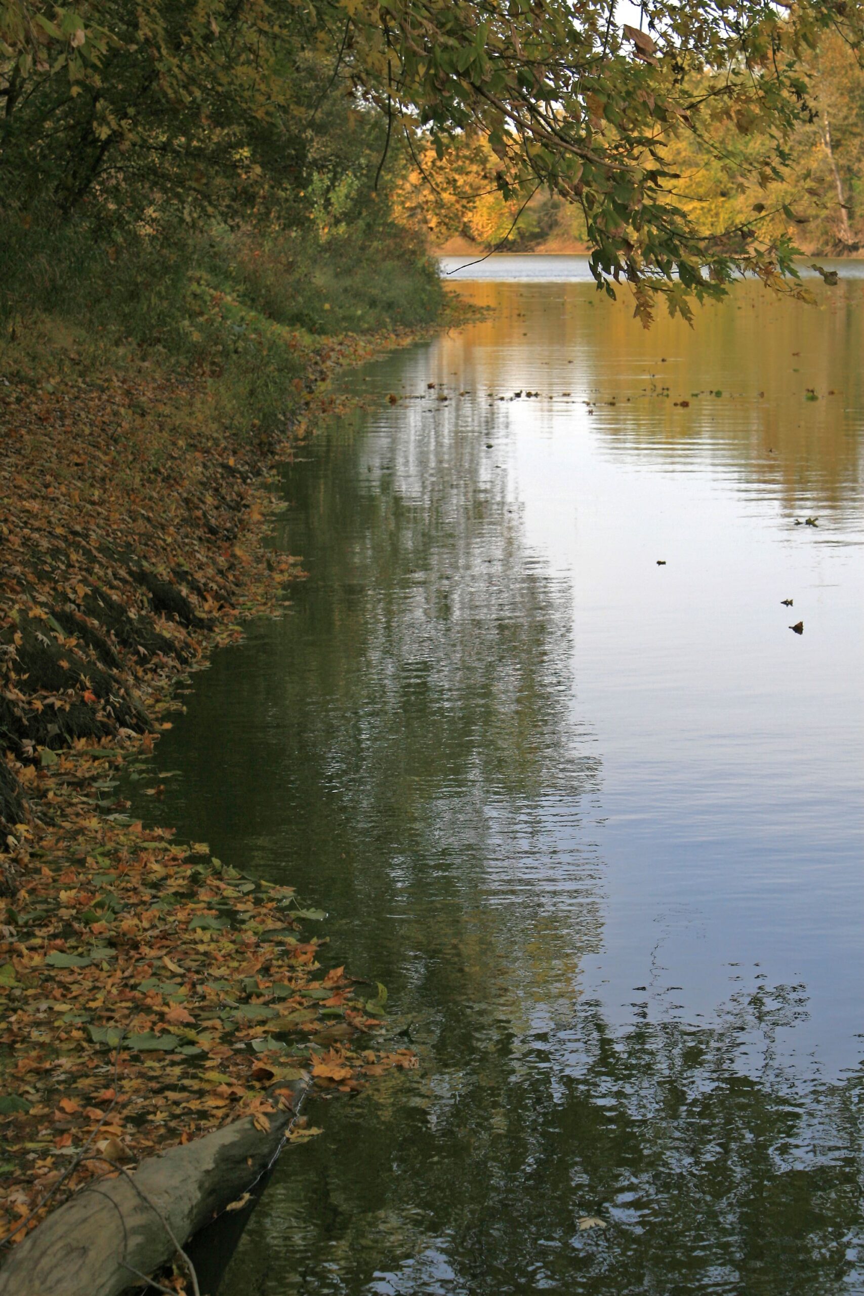
Explore northeast Indiana from the water
The water trails and ACRES preserves meet on many rivers in northeast Indiana, including the Mississinewa, Salamonie, Wabash, St. Joseph, Maumee and Fawn rivers and Cedar Creek. Explore the outdoors and see the world and nature preserves from a new perspective on the water trails.
To learn more about NEIWT, visit: neiwatertrails.com, and to see ACRES preserves from land, check out their preserve page.


Leave A Reply