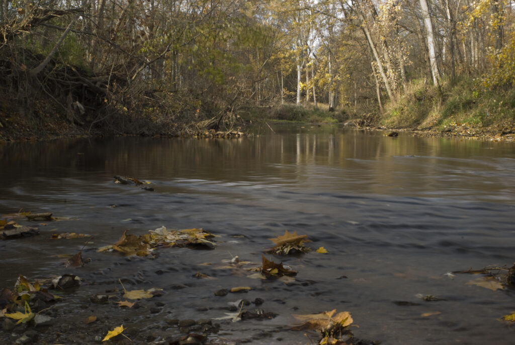
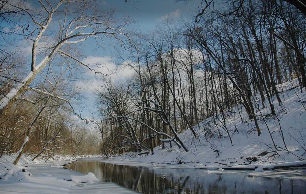
For decades, ACRES has supported willing landowners in protecting the Cedar Creek Corridor, a twenty mile stretch of the creek from Auburn, Indiana, to its terminus into the St. Joseph River near Leo-Cedarville, Indiana. Our office, in the former home of Tom and Jane Dustin, two of our founders, overlooks the creek from an 80-foot ravine in northern Allen County.
Cedar Creek is one of only three rivers in the state to be designated in Indiana’s Natural, Scenic and Recreational River System under the 1973 Act of the same name. ACRES helped the waterway earn this designation in 1976.
In honor of Indiana’s 200th anniversary in 2016, the Bicentennial Nature Trust (BNT) awarded ACRES $1 million in matching support to acquire land within the Cedar Creek Corridor. While BNT supported ACRES on numerous properties, the award limit typically has been $300,000 per project. BNT raised its limit for significant, landscape-based conservation efforts in Indiana. Only five such awards were granted statewide.
About the Cedar Creek Corridor
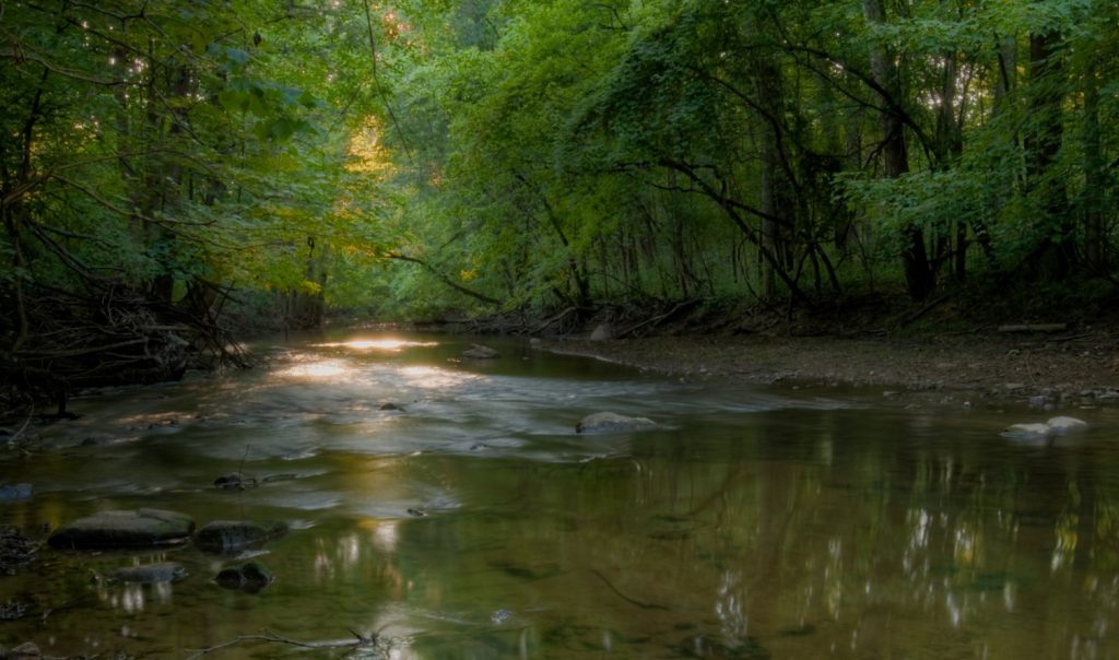
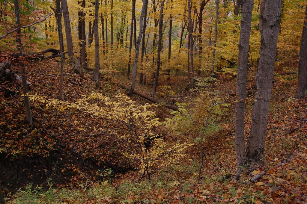
The Cedar Creek Corridor is the largest forested corridor in the region. Riparian (riverbank) and upland forests dominate the area, along with wetlands and gravel hill prairies.
Vegetation in the Corridor includes the beautiful yellow lady’s slipper orchid, gray beardtongue, tall meadow rue, golden Alexanders, and the only populations of Indian paintbrush and yellow puccoon documented in Allen County.
Wildlife found in the Corridor includes bobcats, turkey, mink, multiple freshwater fish species, river otters, Pileated Woodpeckers, Bald Eagles, Great Blue Herons (including an active great blue heronry with over 75 nests), plus Green Herons and Yellow-crowned Night Herons.
Cedar Creek occupies a tunnel valley — a deep, gorge-like canyon cut by meltwater flowing under pressure beneath the glacier. The tunnel valley is trenched into the Huntertown aquifer system, the primary groundwater source within the corridor.
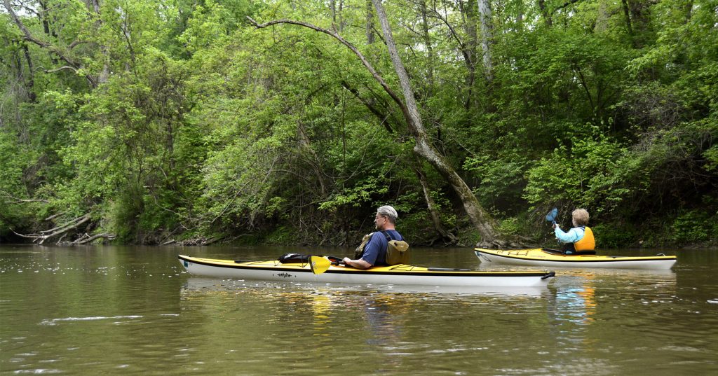
Recreation in the Corridor includes canoeing, kayaking, fishing, and hiking along ten miles of trails on closed loop systems within individual properties. As ACRES protects more land, linking trail systems will create a unique backcountry hiking experience.
The extension of Fort Wayne Trail’s Pufferbelly Trail will connect the Corridor to downtown Fort Wayne, Auburn, and eventually, Angola. Partner organizations are also evaluating the potential for canoe and kayak trails through the Corridor.
ACRES and other land conservation partners have preserved 1,453 acres of the Cedar Creek Corridor, shown, in part, in green on the map.
You can explore the Cedar Creek Corridor
In addition to protecting a number of currently-closed life estates along Cedar Creek, ACRES provides trails through the following public preserves within the Corridor: